Top Menu
The top menu bar contains several tools for interacting with the map. Here is an overview of each tool:

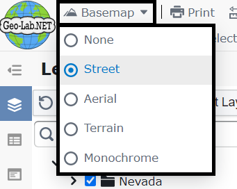
- The Basemap tool changes the map's background imagery. Options include: None, Street, Aerial, Terrain, and Monochrome.
- The Print button opens a new browser tab to print the current map view.
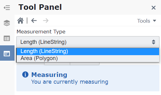
- The Measure tool opens a panel on the left, allowing you to measure distances and areas.
- The Pan Tool lets you move the map without changing zoom scale.
- The Select Tool allows you to draw a rectangle to select features on the map.
- The Select Polygon Tool selects all features within a drawn area. Click points on the map to draw a polygon.
- Map Tooltips toggles on-hover descriptions for certain map items.
- The Address Search bar on the right allows you to find a place, address, or intersection.
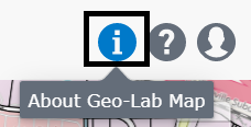
- The information icon (i) opens an "About" dialog with information about Geo-Lab.NET.
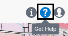
- The question mark icon (?) opens your AI Assistant dialog.
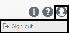
- The User Profile icon provides a dropdown menu with an option to sign out.
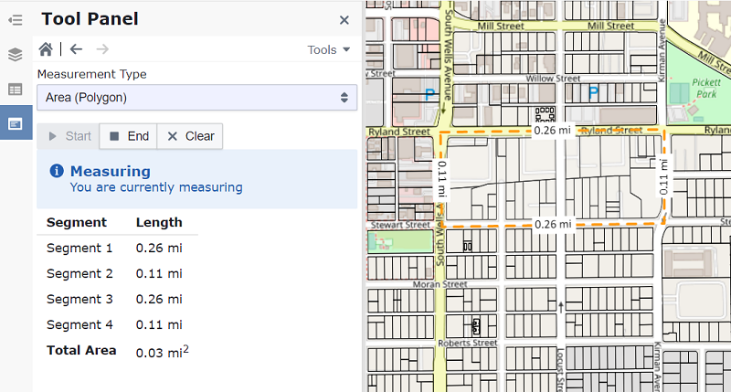
You can measure a distance (Line) or an area (Polygon).
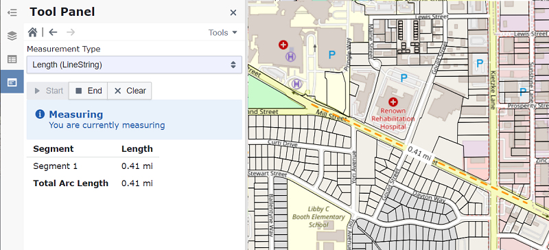
To measure a line, click to start and click again to end.
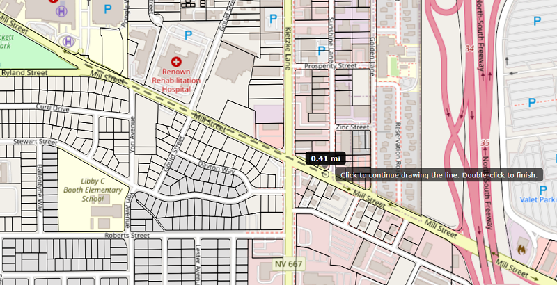
The panel will then display the approximate distance.
To measure an area, draw a polygon by clicking points on the map and double-click to finish.
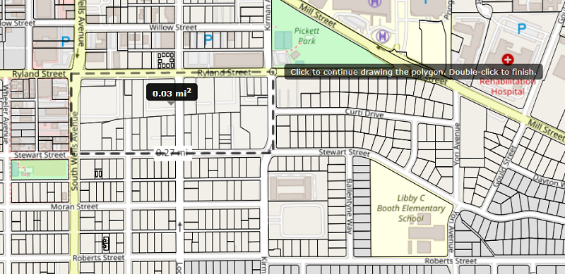
The panel will display the approximate area and perimeter.
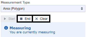
Click Clear to remove the measurement, or End to exit the Measure Tool.
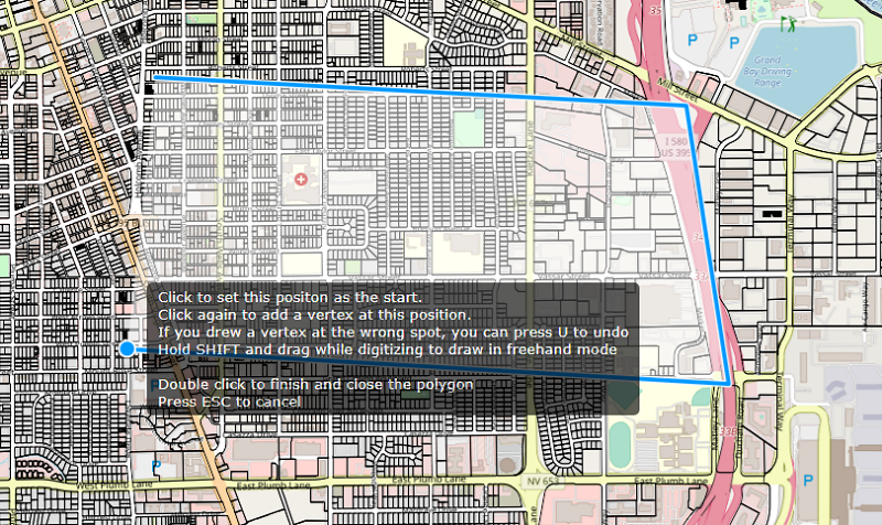
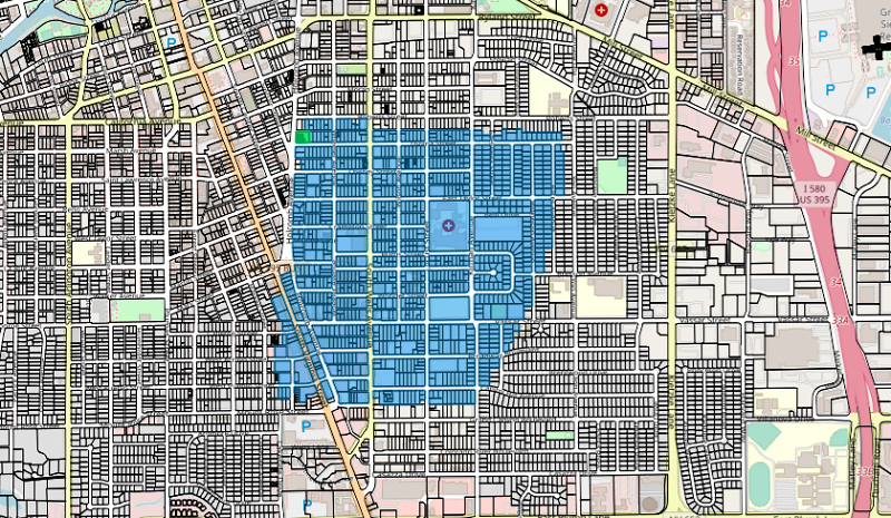
Completing the polygon selects all features inside it (up to 1,000).