Map Research
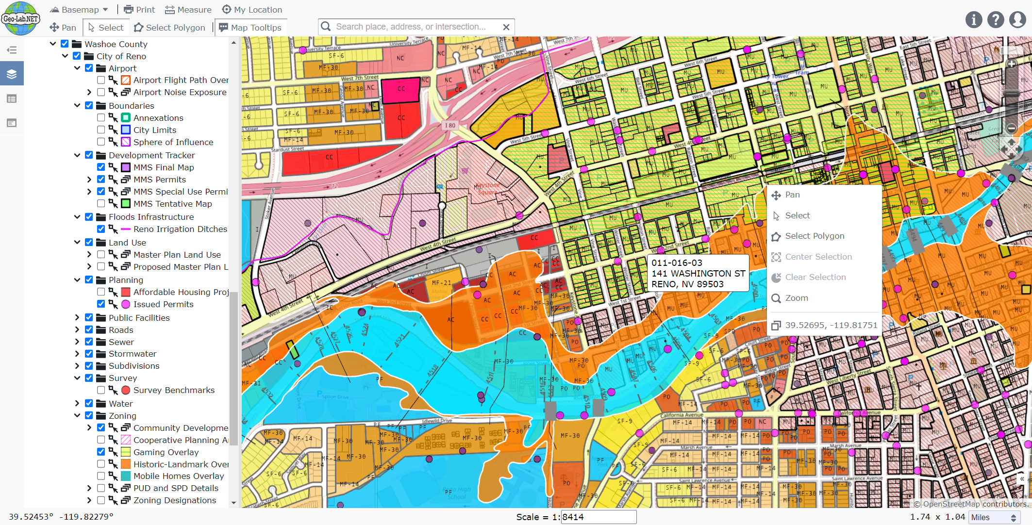
What we love most about researching thousands of layers on our map:
- Address Search zooms to our area of interest.
- Import Layers scans and finds data within our current zoom.
- Legend Filters further narrow down what we are researching.
- Export Features downloads to DXF, SQLite, and CSV for import to QGIS, ArcGIS, AutoCAD, and Excel.
- Parcels, surveys, and FEMA data provide links to assessor reports and documents.

